| тел: +359 888 100 273 email: office@grema3d.com |
| тел: +359 888 100 273 email: office@grema3d.com |
|
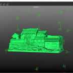
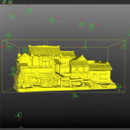
| Data format | 720°digital 3D model |
| Output format | *.obj,*.ply,*.fbx,*.stl,*.off and other universal 3D formats |
| Resolution of texture | 16384*16384、8192*8192、4096*4096 |
| Mapping error | ≤0.08+0.02*D/300 mm (“D” represents the largest size of the item, the unit is mm) |
| Average chromatic aberration | (CIEDE2000)≤5 |
| Image spot | (Foreign object mapping, light spot, lens contamination, etc.) ≤ 0.01% |
| Color uniformity | After multiple photos are mapped, uniform light and color to ensure that the overall color of the utensils is consistent |
| Mapping edge | Mapping edges blend naturally and seamlessly |
| Mapping accuracy | ≤0.1 mm |
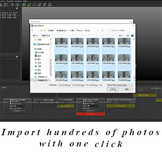
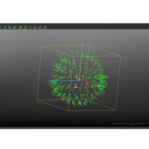
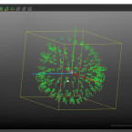
Relative orientation of photos
Import all photos with one click, automatically calculate the relative positions of hundreds of photo sets within 5-10 minutes, and complete the relative orientation of all photos.
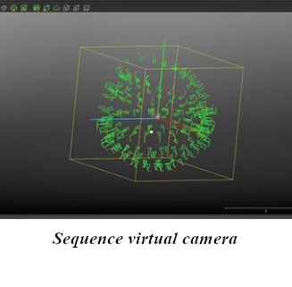
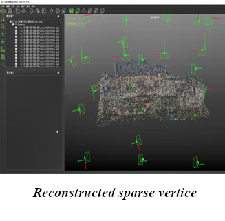
Using the texture features (the main part) between the photos, automatically calculate, complete the relative spatial position sorting of all photos, and then build a sequence virtual camera and feature sparse vertice for all photos.